Heavy snowfall is expected in the J-K upper ranges on March 3: MeT.
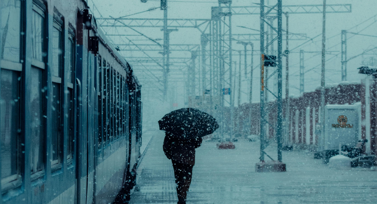
The weather in Jammu and Kashmir is set to undergo significant changes over the next few days, according to a forecast issued on March 2, 2025, from Srinagar’s Meteorological Centre. Late tonight, isolated areas across the region may experience light rain and snow, signaling the approach of a more active weather system. By March 3, this system will intensify, bringing light to moderate rain and snow to most higher elevations. In particular, the upper reaches of north and central Kashmir could see moderate to heavy snowfall, potentially accumulating significant amounts. This early-week precipitation is driven by a Western Disturbance, a common phenomenon in early March that often blankets the region’s peaks with fresh snow.
Following this burst of wintry weather, a period of calm is expected to settle over Jammu and Kashmir from March 4 through March 9. The forecast suggests that dry conditions will prevail during this six-day stretch, with little to no rain or snow anticipated. This break will likely provide relief to residents and travelers after the initial stormy spell, allowing roads to clear and daily activities to resume without weather-related disruptions. Temperatures may vary widely across the region’s diverse terrain, with colder nights in the mountains and milder days in the lower plains, but the absence of precipitation should make for a stable and predictable week.
Looking further ahead, the dry spell will give way to renewed activity as another weather system approaches from March 10 to March 12. The Meteorological Centre predicts a fresh round of rain and snow during these three days, affecting both higher and lower areas of Jammu and Kashmir. While the intensity remains uncertain, higher elevations are again likely to see snowfall, potentially lighter than the March 3 event but still notable. Authorities have cautioned tourists, travelers, and transporters to stay updated with administrative and traffic advisories, especially in avalanche-prone zones, and farmers have been advised to hold off on irrigation and farm tasks until after March 4 to avoid weather-related setbacks.
Weather Condition In Next 10 Days in Kashmir
A Western Disturbance is currently active, as reported by @Kashmir Weather and @Metsrinagar on March 2, 2025. This system is bringing widespread light to moderate rain and snow today (March 3, IST), with higher elevations like Gulmarg, Sonamarg, and Pahalgam likely to see 5–15 cm of snow accumulation. Some plains might experience a brief spell of light snow (1–3 cm) if rain converts, as suggested by @KashmirWMan. By March 4, precipitation will taper off, with only light snow (2–5 cm) in higher areas early in the day before conditions dry out.
March 5–9, 2025:
Posts from @JammuTribune and @metsrinagar indicate a dry spell across Jammu and Kashmir from March 4 to March 9. No snow is expected during this period, with mostly clear to partly cloudy skies. Temperatures will gradually rise, especially in lower areas, with highs reaching up to 25°C in the plains and remaining below 10°C in higher altitudes.
March 10–12, 2025:
A new spell of rain and snow is forecast to begin around March 10, as per @metsrinagar and @JAMMULINKS posts from March 1–2, 2025. Higher areas could see light to moderate snow (2–10 cm), with the heaviest activity on March 11. Plains are more likely to experience rain, though isolated light snow isn’t ruled out if temperatures drop sufficiently. This aligns with the expected arrival of another Western Disturbance
Rain and Snow Expected
- Plains (Jammu and Srinagar): Expect light to moderate rainfall, with accumulations ranging from 5–15 mm per hour during peak activity. Temperatures in Jammu may hover between a low of 12°C and a high of 20°C, while Srinagar could see lows near 2°C and highs around 10°C. Cloudy skies and occasional thunderstorms are possible, particularly on March 3 evening.
- Higher Elevations (Gulmarg, Pahalgam, Sonamarg): Snowfall is likely, with light to moderate accumulations of 5–15 cm. Temperatures will remain cold, with lows dipping to -5°C and highs reaching 2–5°C. The heaviest snow is expected in the upper reaches of Kashmir, such as the Pir Panjal Range and Gurez Valley.